Before the emergence of drones, landfill managers needed to either spend tens of thousands of dollars on an aircraft for aerial photogrammetry or painstaking hours walking to get a topographic survey of their site. These unmanned aircrafts have since brought the promise of more information with less time, labor and cost investments.
Those who used drones in their infancy, however, discovered this technology was not without its challenges. With more information came more data to process, along with the need for more advanced equipment and knowledge to do so.
Despite their potential to help managers optimize their landfills, the technological requirements behind drone mapping have created barriers to entry for operators with minimal tech or surveying experience. But newer advancements are coming up the pipeline to make the technology increasingly more accessible to the layman.
“Because of the [capabilities] of drones, the technology and software has advanced and the pricing has become more affordable,” says Phil Carrillo, the remote monitoring control director at SCS Engineers of Long Beach, California.
Humble beginnings
Paul Johnson, a technology manager for Hamm Inc. of Perry, Kansas, was an early adopter of drone technology. “We knew it would reset the standard for topography on the surveying side,” Johnson says.
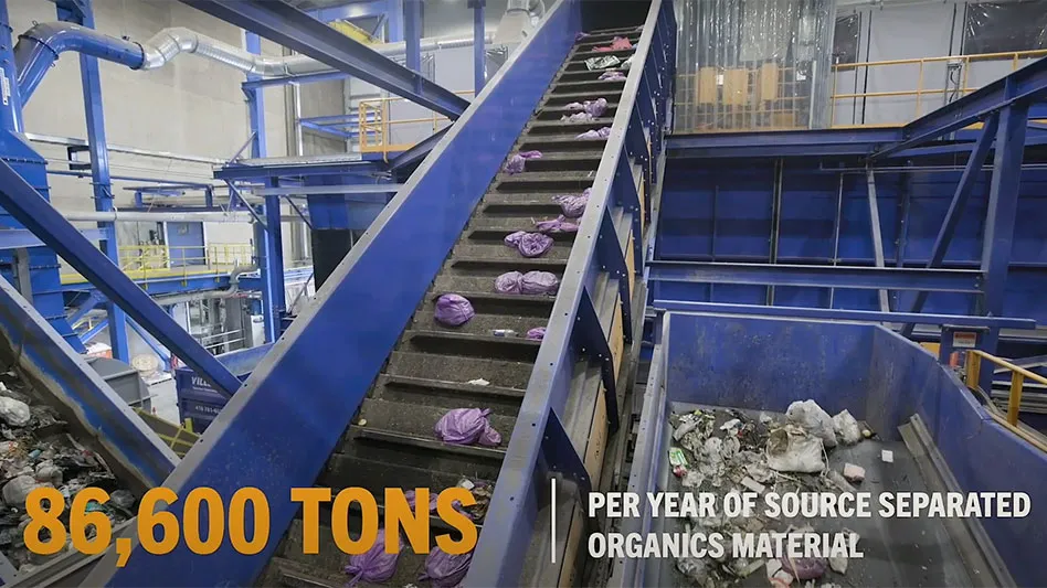
Hamm Inc. operates more than 30 sites across Kansas, which include a material recovery facility (MRF), a landfill, two sand plants, a lightweight aggregate plant, asphalt plants and limestone quarries. It also offers services in aggregate production, paving and construction.
Johnson purchased his first drone, a fixed-wing model resembling a small airplane, in 2013 so the company could conduct its annual landfill flyover for a topographical map without spending nearly $25,000 on hiring a pilot to do so—a cost that equated to nearly the same purchase price of the drone.
But getting his program off the ground—literally—wasn’t simple. Johnson spent hours before flights setting out ground control points across the landfill for the drone to pick up on. Once the flight was complete, it produced “copious amounts of photos” that Johnson says he had to sift through and attempt to piece together. The sheer size of the data required Johnson to purchase a “massive computer,” and even then, the analysis was a finicky, grueling process that could take hours to process.
Johnson says it took him nearly six months to become comfortable with using the technology and turning the analyses into tangible data that could be applied to optimizing Hamm’s landfill.
“I normally did the data collection and surveying and passed it off to someone else for analysis. When we purchased the drone, it came with a lot of baggage,” Johnson says. “It was definitely a challenge at first. It was pretty tough to pick up. I just kind of taught myself over the course of what we’ve done.”

Upgrades
The days of laying out ground control points and spending hours in front of a computer processing data have come and gone. Johnson has since made several upgrades to his drone program, including adding a multirotor real-time kinematic (RTK) drone to his fleet.
Multirotor drones offer more maneuverability and automation, while the RTK capabilities eliminate much of the need for groundwork. Johnson now simply needs to drop a few ground control points on the site, program the flight destination into the drone’s GPS system and let it fly.
Last year, Johnson also invested in Propeller, a cloud-based data visualization and analytics platform. Because it’s cloud-based, it doesn’t require software installation or a large hard drive for storage. Johnson is now able to submit the drone’s hundreds of survey photos to Propeller, which are then processed and ready to view in digestible charts and graphs less than 24 hours later.
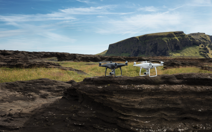
Though Propeller is an analytics platform, the Australian company has recently teamed with DJI, a drone manufacturer based in China, and Trimble, a GPS technology developer based in Sunnydale, California, to roll out a full suite of drone surveying technology.
The partnership was formed to create a more streamlined entry into drone mapping. The company now offers all the equipment needed for drone surveying—ground control points, drones and software—that are all made to easily work together.
Propeller and DJI also recently released a drone with post-processing kinematic (PPK) technology that, like RTK, minimizes the need for groundwork but offers more reliability. Johnson says he plans to purchase one this year to add to his fleet.
“The main thing we’re getting out of this new drone is very consistent output with very limited expertise required by the person planning the survey and flying the drone,” says Jim Greenberg, a product manager in the Trimble civil engineering division. “When you have consistent, reliable results, you can start making decisions based on your measurements.”
Seeing results
Since the upgrades, Johnson has been able to use his drone fleet across the entire scope of his company. He flies them over construction projects to track their progress. They’ve also proven to be useful marketing tools, as the cameras provide imagery from an aerial perspective to display on brochures and online.
Johnson says drones have also been helpful in the realm of employee safety. He deploys them to inspect tight, small spaces inaccessible to humans in the MRF, or to evaluate 40-foot excavations that pose falling dangers.
But the area they’ve proven most helpful in is managing the landfill. Johnson uses the drones to take inventory of the quarries both on and off the landfill every quarter. He also flies them multiple times to evaluate the landfill before building a new cell.
The technology can help landfill managers keep track of their capacity to make decisions on where they spend their time, where they put machines, when to build a new cell and when to begin planning to close up shop.
The technology can also help managers prolong their closure by achieving maximum compaction rates—a feat that has been difficult with traditional methods of weighing waste as it enters the facility.
“The problem with just weighing things is that the weight of a truckload [of waste] is not necessarily related to its volume. The landfills have been guessing what the relationship is between weight and volume,” Propeller CEO Rory San Miguel says. “What you get with drone survey now is the weight, and you have the volume, which means you end up with the density. And that’s really the number operators need to pay attention to.”
As drones become easier to use and cheaper to purchase, they become capable of more. Some landfill managers have begun adding sensors to their drones to monitor their facilities for heat or methane. For now, though, most users are occupied with uncovering the many surveying features of existing technology.
“Just the sheer quickness with which you can get a [topographical survey] of what the ground looks like these days and compare quantities makes things a lot faster,” Johnson says. “It’s just a great tool.”

Explore the April 2019 Issue
Check out more from this issue and find you next story to read.
Latest from Waste Today
- Bioenergy Devco honored at SEAL Awards
- AMCS showcasing Performance Sustainability Suite at WasteExpo
- New Way and Hyzon unveil first hydrogen fuel cell refuse truck
- NWRA honors award recipients during annual breakfast at WasteExpo
- Rubicon selling fleet technology business, issuing preferred equity to Rodina Capital
- Machinex to feature virtual tour of Rumpke MRF at WasteExpo
- Reworld releases 2024 sustainability report
- Novolex invests in Ozzi