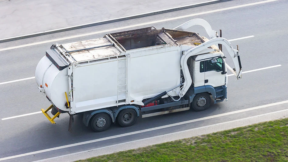
For operators, every ton of methane escaping from a landfill is a missed opportunity to profit by capturing the gas and selling it to power homes, earn carbon credits or secure renewable gas offtake contracts. Landfill gas-to-energy (LFGTE) projects are now increasing, especially across the U.S., but their success depends on one often overlooked factor—how well operators know their emissions.
This article explores how the most successful operators are using a multitiered monitoring approach—combining satellites, drones, aircraft and ground sensors—to optimize their capture rates and maximize returns.
LFGTE is booming, but faces increased scrutiny
Landfill gas (LFG) is roughly 50 percent methane (CH4), and in the right conditions can be turned into heat, power or renewable energy. Worldwide, the LFTGE systems market was valued at $6.16 billion in 2024 and is projected to double to 13.8 billion by 2032. In the U.S., nearly 542 LFG energy projects are already operating (as of September 2024), with about 444 landfills identified as good candidates.
Every cubic meter of methane captured can be monetized, either as electricity or pipeline-grade gas, or traded as carbon credits under programs like California’s Low Carbon Fuel Standard (LCFS).
GHGSat detected 58 MTCO2e emissions from U.S. landfills in 2024, and every increment of captured gas means less carbon intensity and higher returns. For example, investments in U.S. biogas systems hit a record in 2024, with $3 billion of new capital and a 17 percent rise in project count.
Maximizing methane capture means maximizing revenue. But it also means meeting the rising demands of the offtakers, regulators and financiers, who are asking tougher questions:
- Is your reported methane capture accurate?
- How do you verify your carbon intensity?
Often, operators rely on quarterly surface emission monitoring (SEM) or estimates and models, but these are not always accurate.
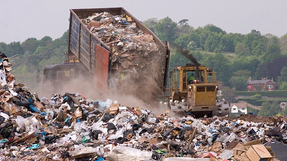
The problem with traditional monitoring
Quarterly Surface Emissions Monitoring (SEM) has been the go-to method for estimating emissions for years. But landfills are dynamic and evolving constantly. Wind, waste composition, and daily gas fluxes mean plumes can appear and dissipate quickly. New methane leaks can surface after heavy rains, when a well slips out of vacuum or a new cell opens, for example. A technician walking around with a handheld detector just four times a year can't possibly cover every slope, cell and corner to capture this ever-changing landscape.
Indeed, traditional SEM is limited by its design. Surveys happen infrequently (once per season), often skip difficult terrain and rely heavily on technician judgment, and large portions of landfills go uninspected between checks.
This is a problem because when methane leaks go undetected, they undermine project integrity. Carbon credits, and LCFS revenue depends on verifiable reductions. A hidden plume that invalidates credit eligibility can instantly turn a profitable site into a liability.
Moreover, without accurate and frequent data, landfill operators are underestimating or overestimating the volume of recoverable gas. This makes it difficult to right-size gas capture systems correctly or assess whether a site is ready for RNG development. In some cases, millions of dollars in potential revenue may be left untapped simply because the monitoring system failed to show the full picture.
What modern monitoring looks like
Today’s forward-thinking landfill operators are moving beyond traditional methods. Instead of relying on a single method, they’re combining technologies to catch elusive leaks and optimize gas capture. This multitiered monitoring strategy, bringing together satellites, aircraft surveys and ground-based sensors, helps to ensure accuracy and swift action. Each layer has unique strengths and covers the shortcomings of the others:
- Small satellites like GHGSat capture site-wide snapshots from space of the entire site, even where technicians can’t walk easily, detecting plumes as small as 100 kilograms per hour with up to 25-meter spatial resolution. Satellites provide the first alert, flagging any persistent or large-scale emissions with minimal cost at scale. GHGSat data shows landfills emit persistently—a leak was detected in one in seven site visits. They also provide transparency by moving beyond modeled emissions to actual measurements; satellite data helps “right-size” gas capture plans.
- High-resolution aircraft surveys are the next tier. Modern landfills use periodic flights to validate and augment satellite alerts or to perform high-frequency checks around known emission points. Equipped with infrared spectrometers, aircrafts can map methane at meter-scale resolution across an entire landfill in minutes to hours. This fills the gap between satellites and fixed sensors. Aerial surveys can be flown on demand (e.g., after heavy rains or temperature swings when methane may spike).
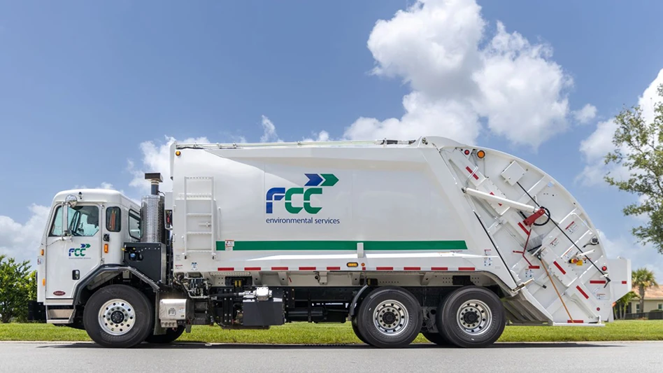
- The third tier is ground sensors. Instead of quarterly snapshots, operators now deploy networks of sensors for ongoing data. These can include infrared methane analyzers mounted on gas wellheads, perimeter towers with laser-based CH₄ detectors, or IoT sensor grids across the site. Unlike mobile surveys, these provide constant, real-time readings only wherever they are placed.
Together, these tiers create frequent, actionable monitoring that overcomes SEM’s drawbacks. The result is faster leak identification and optimized gas capture. One practical case reported by an industry study highlights this synergy: on March 2, a satellite plume alert flagged a previously undetected landfill area. Technicians were able to trace the plume to three unsealed gas-line stubs from recent construction using mobile analyzers and take action.
What operators can do with better data
Operators planning a new cell layout can combine historical satellite and aircraft data to understand exactly where methane flows are the highest and place wells more effectively from the start. Operators across North America are already using multitiered monitoring to improve gas recovery, meet compliance goals and increase project returns.
Importantly, modern monitoring pays dividends beyond compliance. Advanced data allows operators to replace assumed emissions factors with actual measured leaks and capture efficiency. In carbon markets, project proponents can bolster claims of carbon reduction with satellite/drone verification, increasing credit value and credibility. LFGTE project financiers and offtakers are also demanding transparent MRV (measurement, reporting, verification) for methane.
Real-time monitoring builds the “trust but verify” framework that investors and regulators want. When data streams feed directly into reporting platforms or registries, it reduces audit risk. In short, multitiered monitoring supports everything from permit compliance and NSPS adherence to corporate sustainability disclosures. The data can also inform operational improvements: by mapping actual emission profiles, operators can optimally place new wells or extraction trenches in the highest-flow areas.
Key takeaways and best practices
Landfill operators planning LFGTE projects should leverage a multitiered monitoring strategy to maximize gas capture and maximize returns:
- Adopt a multitiered monitoring strategy: Combine point sensors (especially at key collection wells or tips), frequent aircraft surveys and periodic satellite overpasses.
- Act quickly on data: Set up response protocols so that any detected exceedance immediately triggers an investigation. Use GIS mapping (attaching GPS coordinates) to locate leaks quickly.
- Integrate data into reporting: Feed emissions data into your GHG inventories, permit reports and ESG disclosures. Use high-resolution data to refine models and document emissions reductions for stakeholders.
- Optimize field operations: Use emission maps to adjust well placement, vacuum levels and cover practices. For instance, if sensors show consistent leak ‘hotspots’ in one landfill cell, add extraction wells there or improve cover in that area.
- Engage with regulators and communities: Transparent monitoring can build trust. Regulators may accept advanced monitoring in lieu of extra offsets, and nearby communities appreciate proactive leak-finding.
- Plan for technology costs: Budget for multitiered monitoring.
- Stay current: The field is evolving rapidly. Commercial satellite constellation comprising of 14 satellites from GHGSat with its AI-assisted analytics are already available.
By deploying a multitiered, data-driven monitoring strategy, landfill operators can capture the maximum methane for energy production, stay well under regulatory thresholds and ensure their LFGTE projects truly deliver on both emissions’ reduction and financial return. In today’s market, investing in accurate, comprehensive monitoring is one of the most effective ways to secure project success.
GHGSat is already working with operators across the U.S. to close the emissions gap—connect with our team to see what's possible.
Latest from Waste Today
- WeSort.AI recovers critical raw materials from recycling plants
- Collective Waste Solutions acquires Alcop Resource Recycling transfer station
- A blueprint for curbside composting
- Aemetis narrows net loss in 2025
- Fleetio launches AI capability to accelerate fleet maintenance approvals
- Recycle Ann Arbor extends drop-off station operating hours
- Sybilion seeks to help manufacturers confidently address volatility
- Ecowaste Solutions partners with city of Trinity, Texas